| www.ashtead.org | All things Ashtead | Ashtead Village |
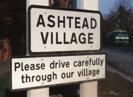 |
Ashtead (homestead among the ash trees) is a village in Surrey (Old English "Suthrige" or "Suthrea": south [of] river [Thames], Saxon "Sudergeona": southern region) in England. It lies about 18 miles south of London; between Epsom and Leatherhead, not far from the Epsom Race Course. Ashtead is very close to junction 9 of the M25 (London orbital Motorway) and has good rail connections to London, Guildford and Horsham. Ashtead is recognised as comprising 'the Village' to the south and 'Lower Ashtead' to the north. The Village incorporates many of the larger detached houses, the main shopping area either side of the busy A24 and Ashtead Park where St Giles' Church is situated. Lower Ashtead is more densely populated with the majority of houses being semi-detached (Duplex to those who understand American-English). The railway station, common, pond, Youth Centre and 2 parades of shops are all situated here together with the newer St George's Church, as well as the Roman Catholic and Baptist Churches. |
Ashtead is mainly a middle class, owner-occupied, area. There are very few starter homes and the community lacks the independent younger element. There are a substantial number of public and private retirement and nursing homes as well as a private hospital. Many people commute out of Ashtead to work either by train, mainly to London, or by car, the M25 being so close.
Ashtead still considers itself to be a village despite having a population of some 15,000. In 2003 the village grew slightly because the local parish boundaries had been set when the A24 was little more than a country lane and long before the M25 cut a swathe through this part of Surrey. After discussions with neighbouring Leatherhead PCC it was agreed that the motorway was a more logical and tangible boundary than an arbitrary line on a piece of paper. And so the Ashtead Parish was enlarged to include all the properties up to the M25, including Downsend, St Andrew's and St Peter's Schools, Grange Road, Ermyn Way and the new houses in Quarry Gardens. There are still sufficient shops to serve the local needs but there is the inevitable shift to out of town shopping. Ashtead is self contained in respect of doctors, dentists and community help including a health clinic and library. There are a wealth of local organisations many of which meet in the Peace Memorial Hall which was built after the first world war for the community. We have a wide variety of Ashtead Pubs, Restaurants, Cafés and Take-aways
The schools are a mixture of state and private, ranging from infants to senior. They are well supported by parents and boast a good standard of facilities and examination results. There are many pre-school playgroups, all very popular.
Ashtead is an old village. It has certainly been inhabited since at least the Iron Age. There was a Roman Villa with clay pits and a tileworks. From which there was a short road to Stane Street - the main Roman Road from Chichester to London.
The first AA sentry box installed in the country was here in 1911.
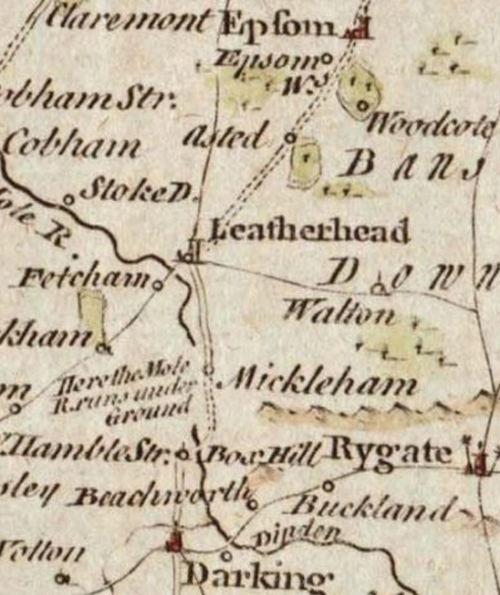 |
In the 1750 map of Surrey produced by Thomas Kitchin for the London Magazine and later published in Henry Boswell’s Antiquities of England & Wales c.1786, there is Asted. |
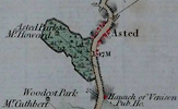 |
John Rocque's map of Surrey 1768 has it as Asted as does the John Cary's Cary's Survey of the High Roads from London of 1790 & 1801.
Whereas in Cary's Actual Survey of the Country Fifteen miles round London of 1800 has Ashted, Ashted Common Fields and Ashted Park.
The description for Thomas Hearne's etching is Ashted Park. |
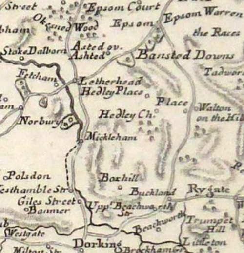 |
In the c.1779 map of Provincia di Surrey produced by Antonio Zatta, and published in his Atlante Novissimo, there is the dual name Asted and Ashted. |
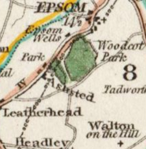 |
In the c.1808 map of Surrey drawn by George Cole and engraved by John Roper and published in The British Atlas, there is Ashsted. |
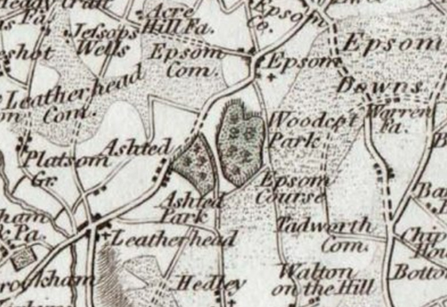 |
In the c.1818 map of Surry (sic) engraved by Samuel Neele and published in James Robins' Atlas of England and Wales, there is Ashted and Ashted Park. |
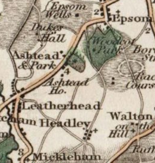 |
In the c.1828 map of Surrey engraved by William Pickett and published in Charles Smith’s New English Atlas, there is Ashtead & Park and Ashtead House. |
| Legal documents of 1867 also have it as Ashted. We also see it in the description of John Sell Cotman's etching Ashted Church Yard at British Museum, Museum of Fine Arts, Boston. Which is seen in other paintings as the cottage that was once behind St Giles' Church. | |
 |
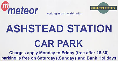
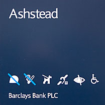
It has also been spelt Ashstead as in Edward Mogg's Survey of the High Roads of England and Wales, Planned on a Scale of one Inch to a Mile, Including the Seats of the Nobility and Gentry, and every object, worthy of remark, whether situated on, or contiguous to the Road Volume 1 of 1817. Though Ashtead Park is spelt with one 's'. In fact 5 of the 8 current OFSTED reports on Nursery schools give the address as Ashstead with the other 3 having Ashtead! These two spellings seem to have run alongside each other for a number of years. In the 1966 edition of The King's England Surrey by Arthur Mee has the entry as Ashstead, but not only does the introduction refer to Ashtead but the map depicts Ashtead too. The 1959 edition of the RAC Guide & Handbook has the entry as Ashtead, but here the map depicts Ashstead. John Payne Jennings, the famous photographer from around 1900, sometimes uses Ashtead and sometimes Ashstead as his address - even changing in the same book! (Sun Pictures of the Norfolk Broads 3rd edition). Or in adjacent paragraphs (Scenic Beauties of Surrey and Sussex). |
Excellent descriptions of the history of the Ashtead are contained in the books A History of Ashtead, Ashtead : a village transformed and others.
Some Ashtead spellings are also covered in Surrey Archæological Collections Vol. XIX (19), 1906| Some spellings of Ashtead | |||||||||||||||||||||||||||||||||||||||||||||||||||||||||||||||||||||||||||||||||||||||||||||||||||||||||||||||||||||||||||
|
May-2006 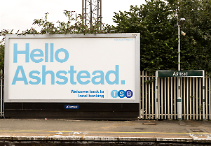
Sep-2013 |
Feb-2007 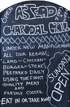
Oct-2008 | |||||||||||||||||||||||||||||||||||||||||||||||||||||||||||||||||||||||||||||||||||||||||||||||||||||||||||||||||||||||||
For spellings Ashted, Ashtead and Ashsted see page about Ashted, Birmingham